

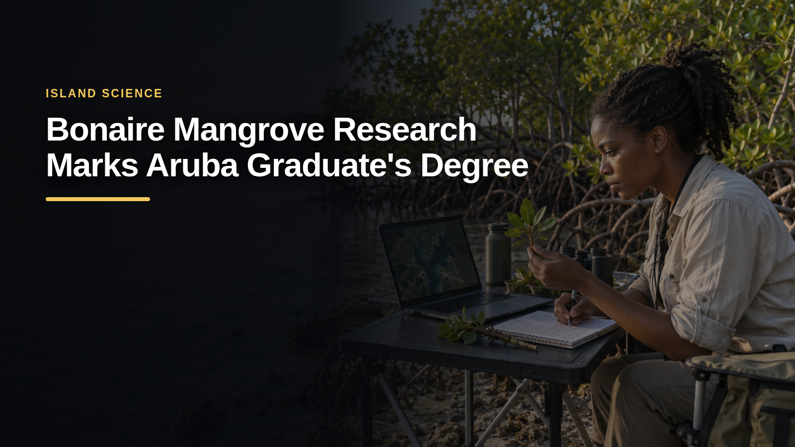
Bonaire mangrove research using satellite imagery formed the thesis that Abigayle Domacassé completed for her Bachelor of Science degree at the University of Aruba.
Study compared Lac Bay vegetation over a decade
According to 24ora, Domacassé graduated from the Sustainable Island Solutions through STEM faculty with a specialization in Bio-Environmental Science. Her thesis compared mangrove vegetation in Lac Bay between 2010 and 2020.
She used Landsat 7 and Landsat 8 satellite images, Google Earth Engine and programming tools to examine where and how vegetation changed across the area.

Results varied across different locations
The study found that changes were not uniform. Some areas showed signs of improvement, while others recorded lower normalized difference vegetation index values, a measure used to assess vegetation condition from satellite imagery.
Although the average index increased and some vegetation-health categories improved, the findings did not show that all Lac Bay mangroves had become healthier. Tidal water may also have influenced parts of the comparison.
Satellite methods support coastal monitoring
The research demonstrated how satellite imagery can help identify and monitor change in an important coastal ecosystem. Domacassé’s work adds regional knowledge about Lac Bay and Caribbean mangrove systems.
Source: 24ora