
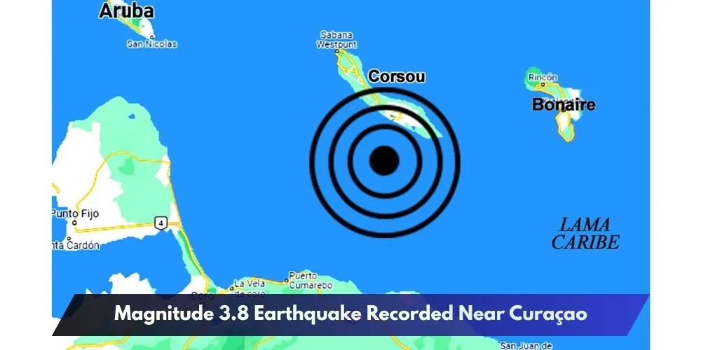
ORANJESTAD (AAN) – Magnitude 3.8 Earthquake Recorded Near Curaçao after a moderate earthquake was detected south of the island shortly after midday on Saturday, according to regional geological monitoring agencies.
The tremor was reported at 12:18 p.m. and occurred in the Caribbean Sea just south of Curaçao.
Different Agencies Report Slightly Different Magnitudes
According to the Geological Service of Colombia (Servicio Geológico Colombiano – SGC), the earthquake measured 3.8 on the Richter scale.

However, Venezuela’s Foundation for Seismological Research (FUNVISIS) reported the same event with a lower magnitude of 3.0, resulting in a slight discrepancy between the two monitoring agencies.
Epicenter Located South of Curaçao
The SGC placed the earthquake’s epicenter at approximately 11.88° North latitude and 68.98° West longitude.
The reported location was approximately:
- 25 kilometres south of the Queen Emma Bridge (Punda), Curaçao
- 24.1 kilometres south-southwest of Jan Thiel, Curaçao
- 33.8 kilometres south of Hato International Airport, Curaçao
- 113 kilometres southeast of the California Lighthouse area in Sero Colorado, Aruba
Depth Estimates Also Differ
The two monitoring agencies also reported different estimates for the earthquake’s depth.
According to FUNVISIS, the earthquake originated at a depth of approximately 35.1 kilometres beneath the seabed.
The Geological Service of Colombia, meanwhile, estimated the depth to be less than 30 kilometres.
No immediate reports of injuries, damage, or tsunami threats were issued following the earthquake. Authorities continue to monitor seismic activity in the southern Caribbean region.